Evapotranspiration and Water Balance Maps
ET Maps
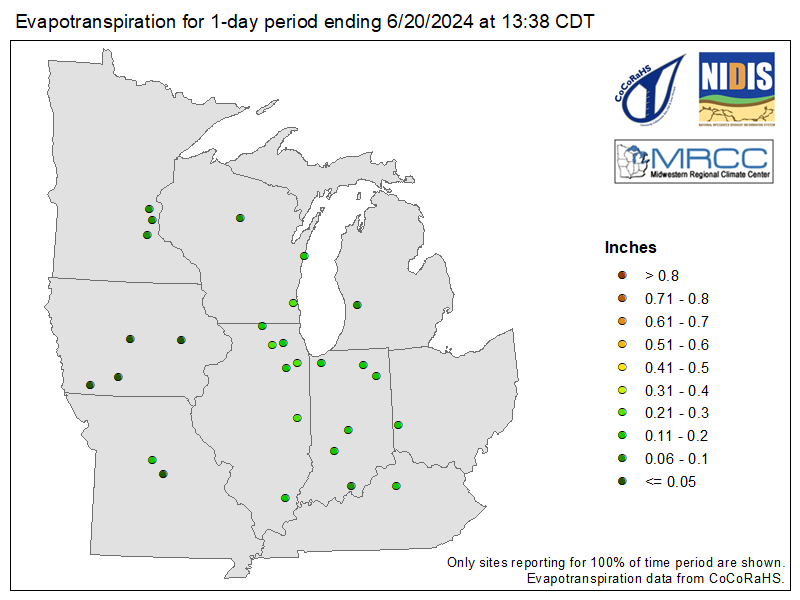
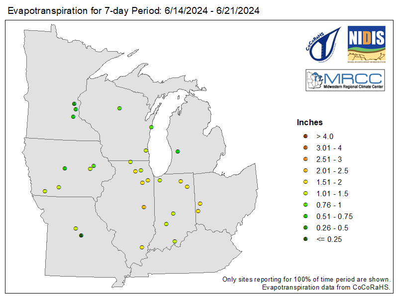
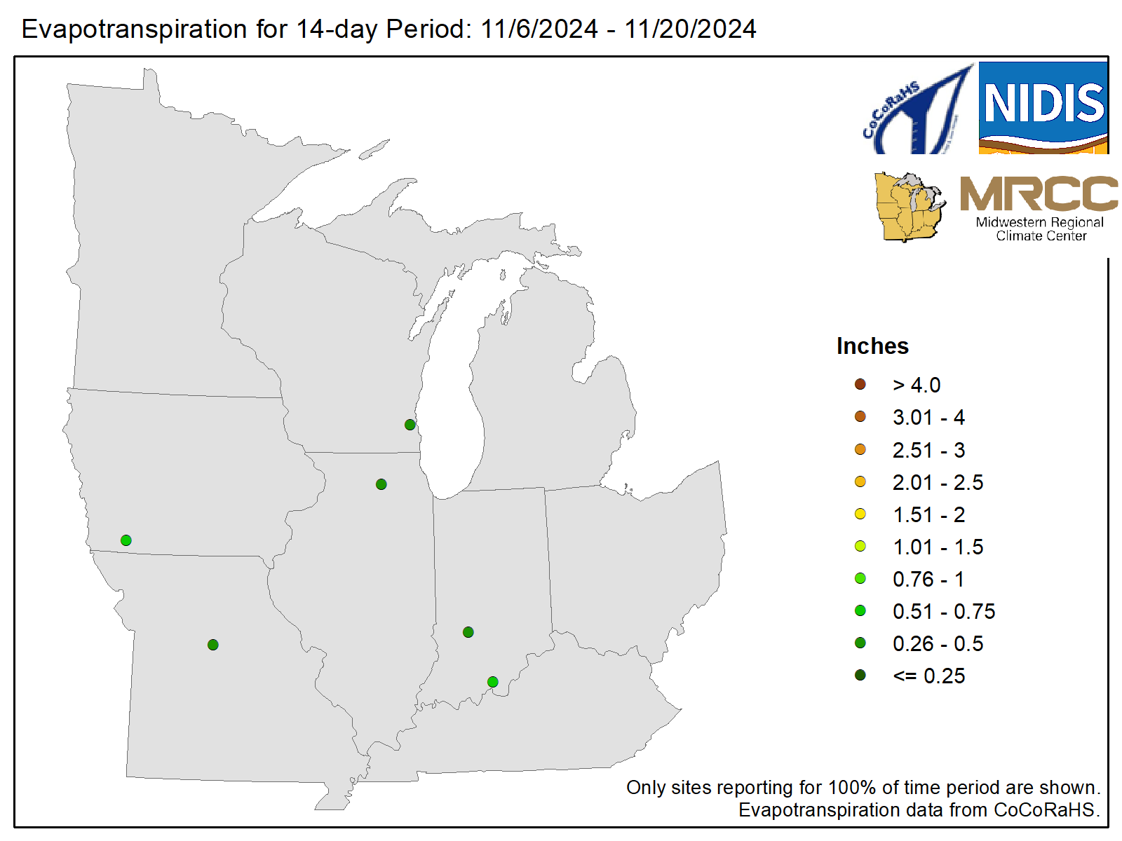
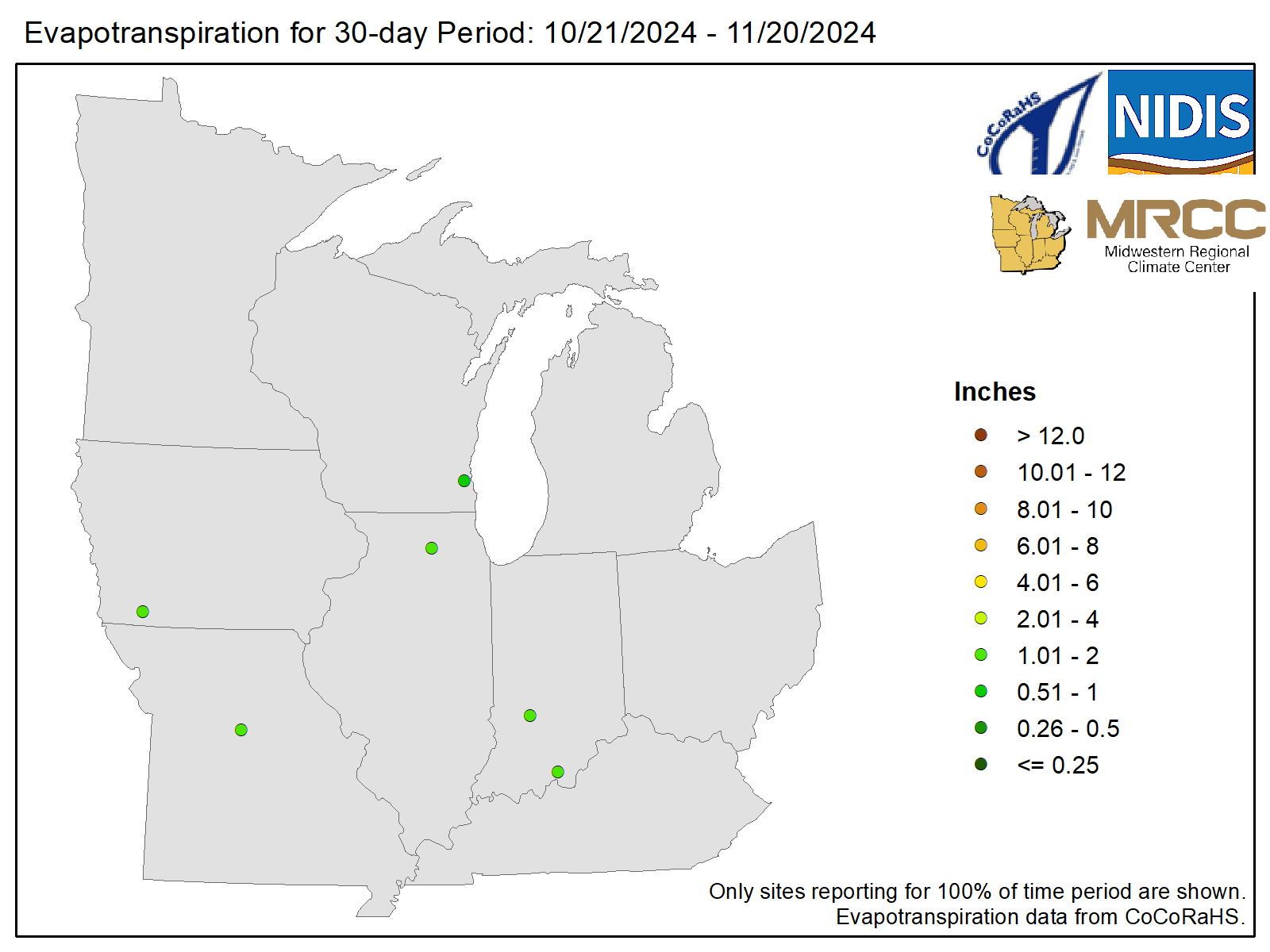
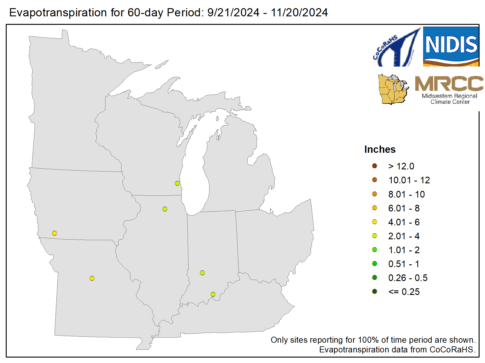
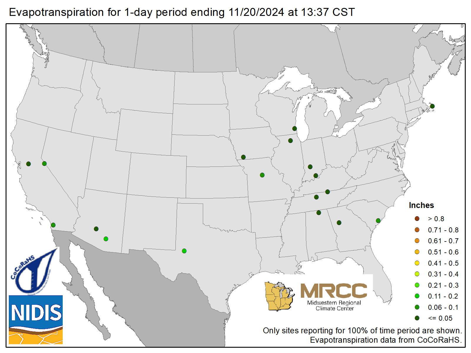
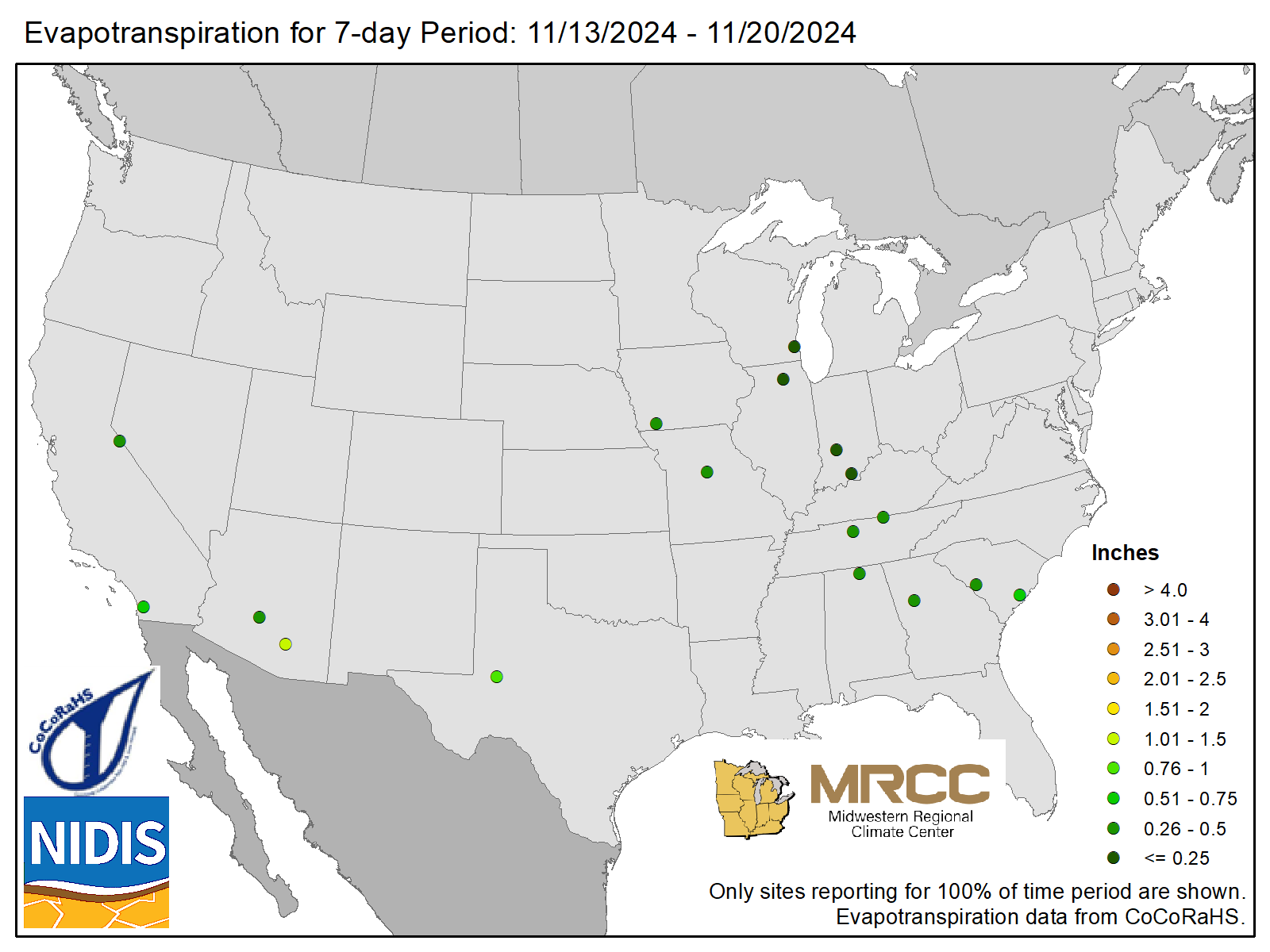
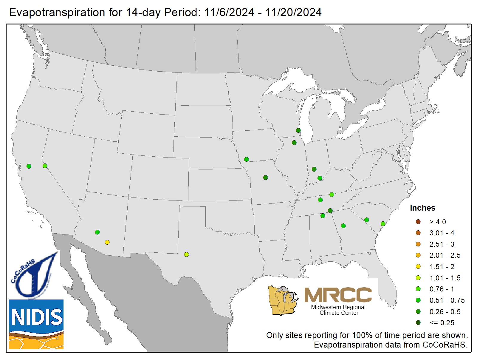
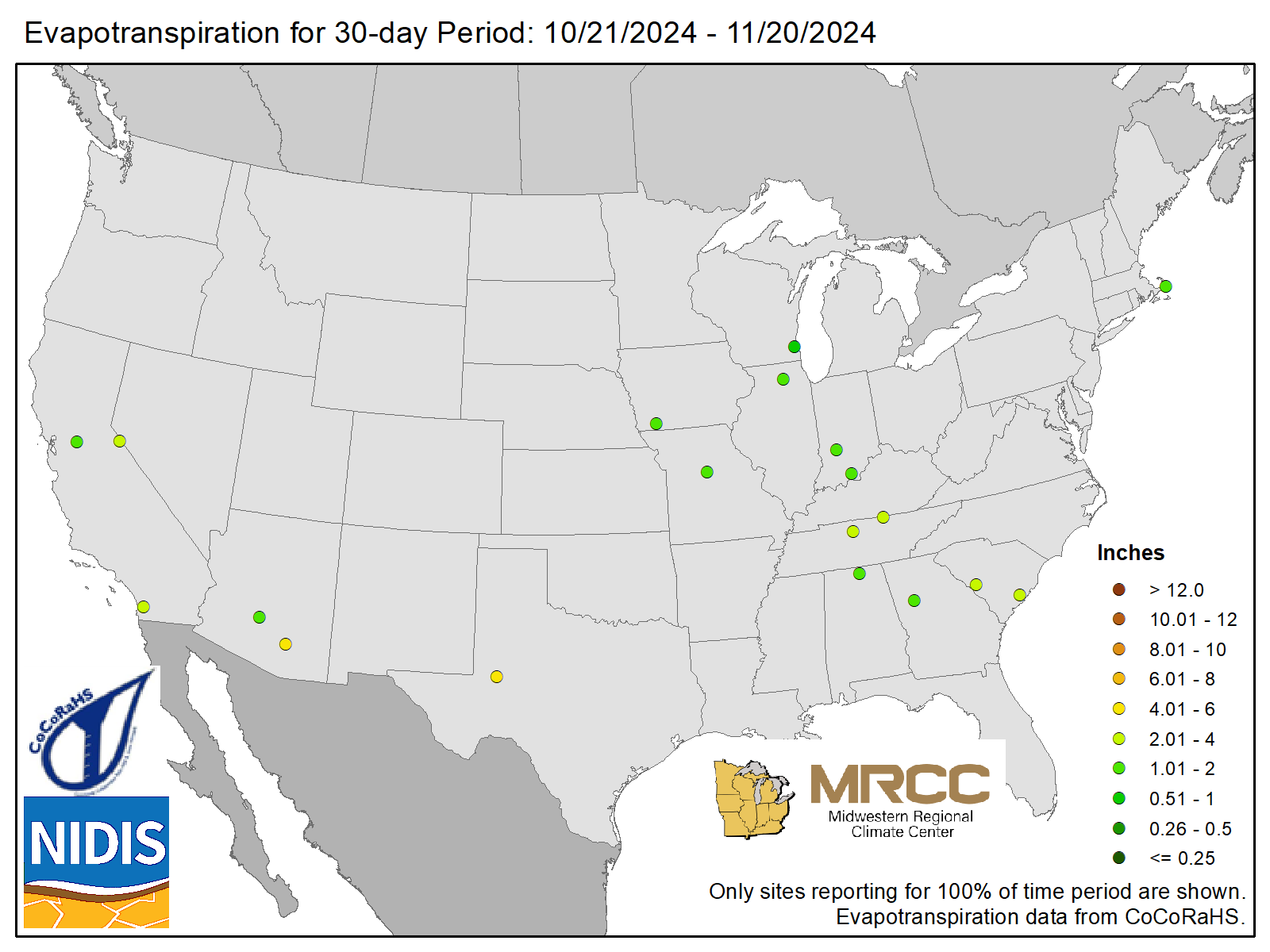
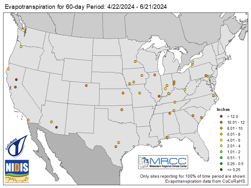
Evapotranspiration (ET) is the process through which water is transferred from the land to the atmosphere by two means: evaporation from soil and surface water and transpiration from plants. It is a crucial part of the water cycle and represents the combined loss of water from a specific area. The rate of ET depends on several factors, including temperature, humidity, wind speed, solar radiation, and the characteristics of the vegetation. Understanding evapotranspiration is important for agriculture, hydrology, and water resource management, as it helps in estimating water requirements for crops and assessing water availability in an ecosystem.
ET Maps utilize CoCoRaHS ET data.
| 1-Day | 7-Day | 14-Day | 30-Day | 60-Day |
|---|---|---|---|---|
 |
 |
 |
 |
 |
 |
 |
 |
 |
 |
Water Balance Maps
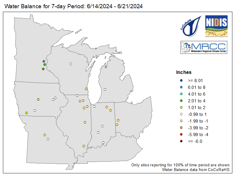
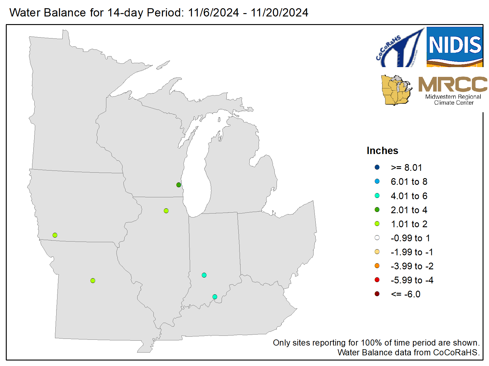
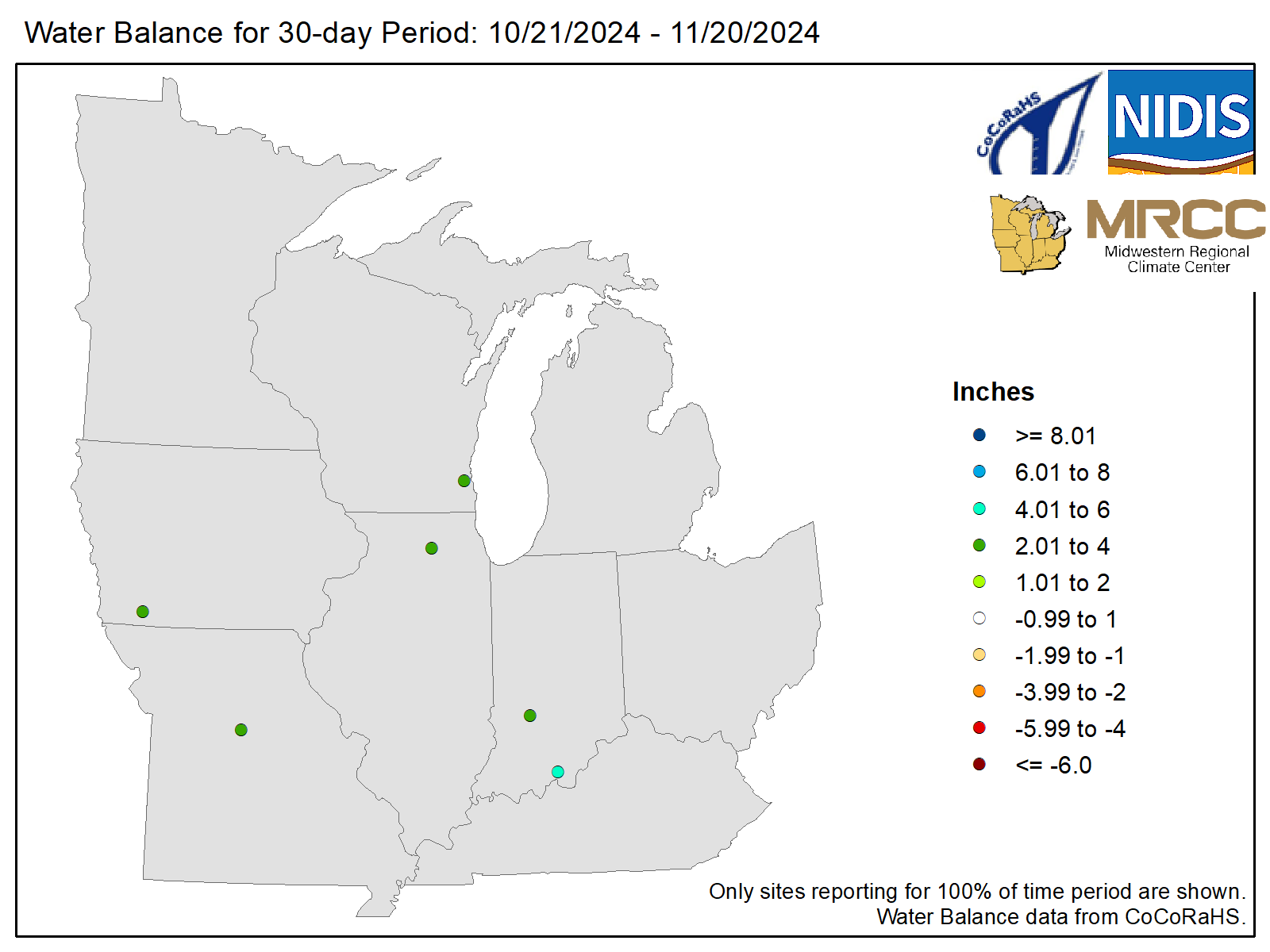
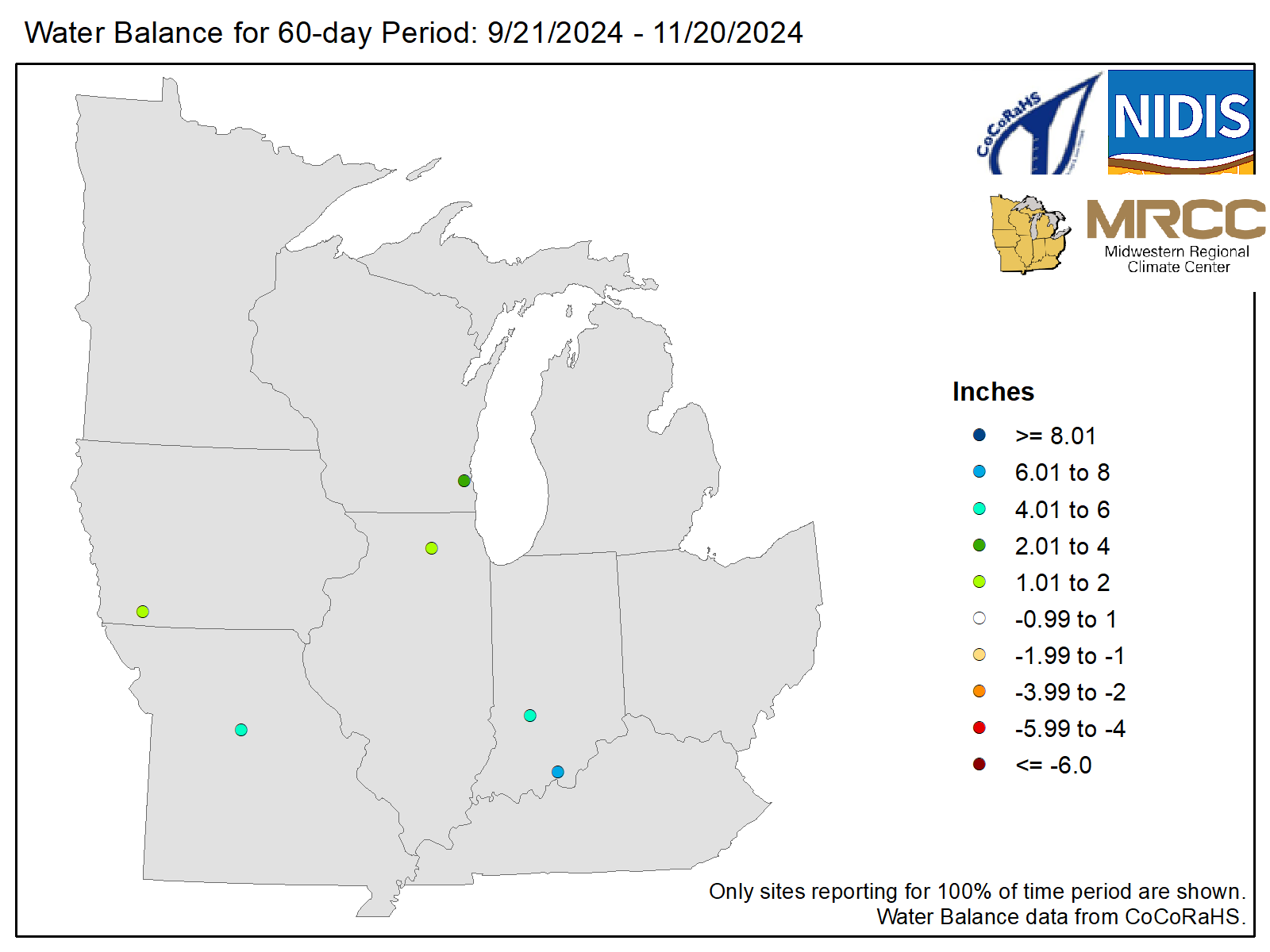
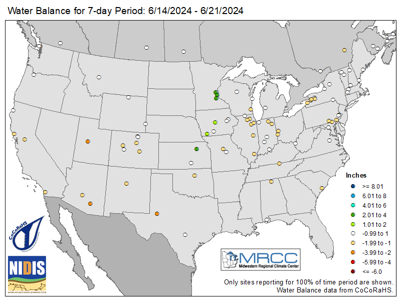
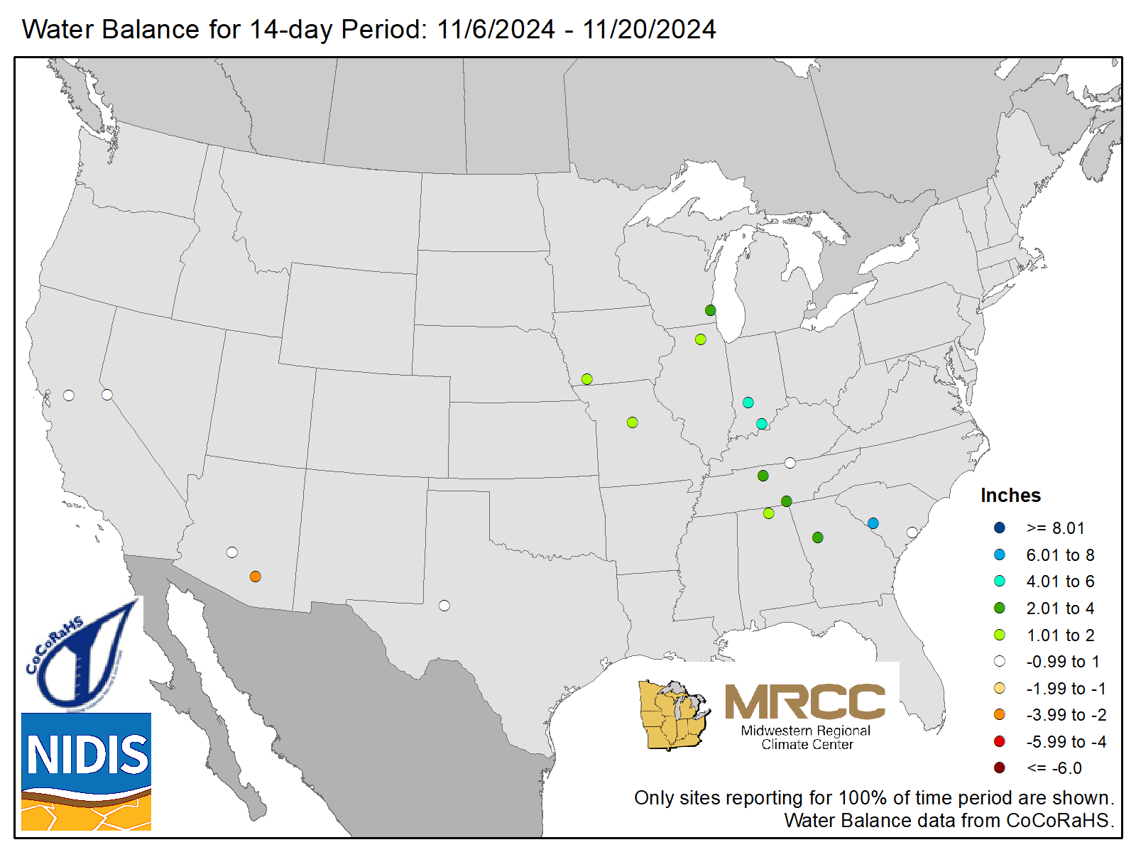
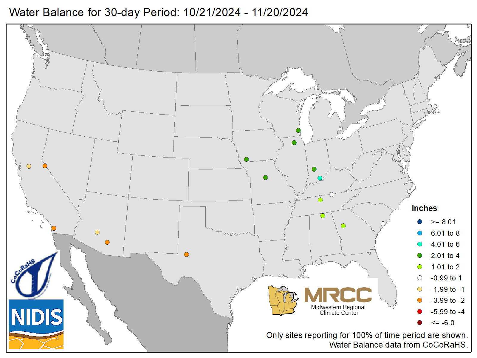
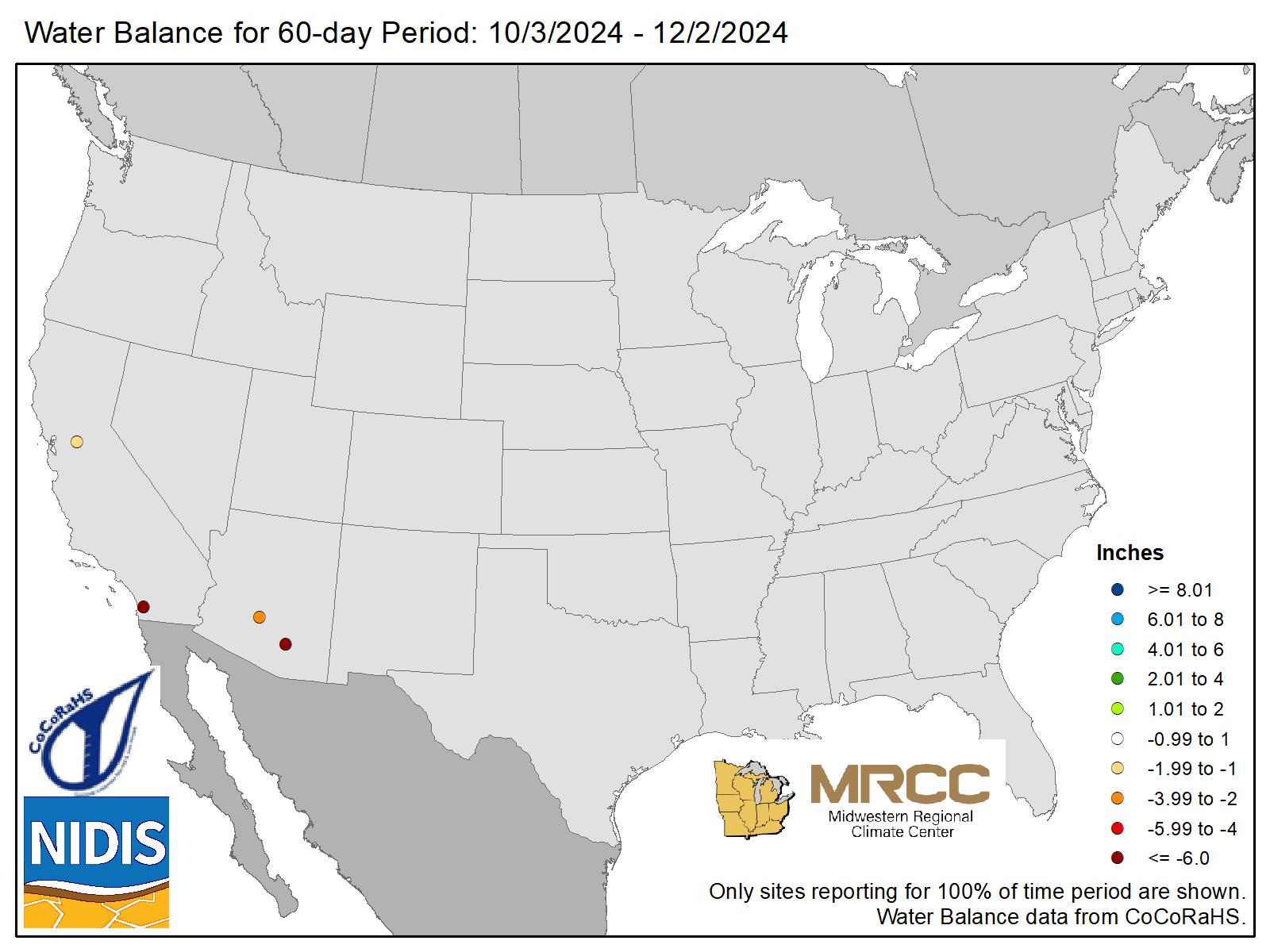
The hydrologic cycle is largely driven by two key components: precipitation and evapotranspiration. The water balance maps track these components by representing incoming moisture (precipitation) against outgoing moisture (ET). When precipitation meets or exceeds evapotranspiration, there is a surplus of water, which can lead to lush vegetation, replenishment of soil moisture, and increased runoff and streamflow. Conversely, if evapotranspiration regularly surpasses precipitation, it can result in wilting vegetation, reduced streamflow, and the need for irrigation to maintain the health of lawns, gardens, and agricultural fields.
Water Balance Maps utilize CoCoRaHS data.
| 7-Day | 14-Day | 30-Day | 60-Day |
|---|---|---|---|
 |
 |
 |
 |
 |
 |
 |
 |